

In This Guide
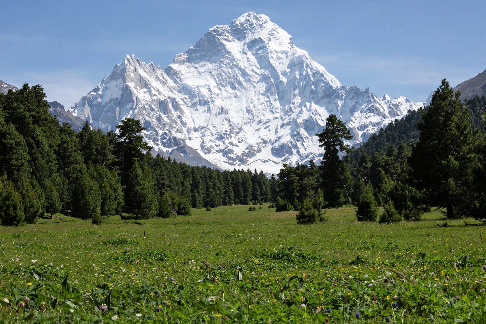
Fairy Meadows is one of the most beautiful natural places in Pakistan — a lush green plateau sitting right below Nanga Parbat, the world’s ninth-highest mountain.
At a Glance
Fairy Meadows is a grassland at about 3,300 metres in Diamer District, Gilgit-Baltistan, directly below the north face of Nanga Parbat (8,126 m). You reach it from Raikot Bridge on the Karakoram Highway: a 1.5–2 hour 4×4 jeep ride to Tato village, then a 2–4 hour uphill trek. The season runs roughly May to September.
View Fairy Meadows on Google Maps
How to Reach Fairy Meadows
Every route to Fairy Meadows starts at Raikot Bridge on the Karakoram Highway, about 80 km south of Gilgit.
Step 1 — Raikot Bridge to Tato village by jeep. A rough 4×4 track climbs about 16 kilometres to Tato. The ride takes 1.5–2 hours and is one of the most thrilling jeep tracks in the world — only experienced local drivers are allowed on it. Jeep fares are fixed by the local union and change every season, so confirm current rates locally.

Step 2 — Tato to Fairy Meadows on foot. From Tato it is about a 5 km uphill walk through pine forest, taking 2–4 hours depending on fitness. Horses and mules are available for hire if you prefer not to walk.
From Islamabad: drive the Karakoram Highway to Raikot Bridge (about 12–15 hours), or take the shorter summer route via Naran and Babusar Pass. You can also fly Islamabad to Gilgit (about 1 hour, weather-dependent) and drive 2–3 hours to Raikot Bridge.
Best Time to Visit
The best time to visit Fairy Meadows is May to September, when the track and trail are open and the meadows are green. The area closes in winter due to heavy snow. July and August are the busiest months — book your stay ahead in peak season.
What to See and Do
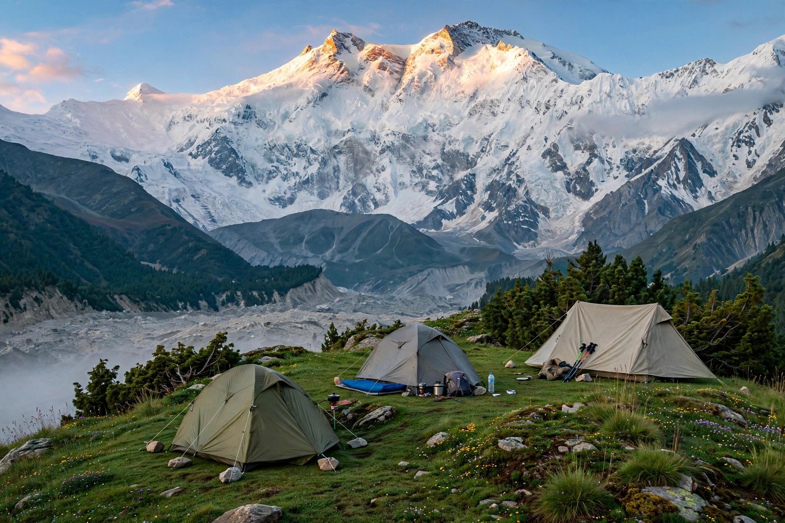
The main attraction is the view of Nanga Parbat’s north face, which fills the entire southern sky above the meadow — especially stunning at sunrise and sunset.

Beyal Camp: a further 1.5–2 hour trek from the meadow brings you to Beyal Camp, with even closer views of Nanga Parbat and the Raikot Glacier.
View Beyal Camp on Google Maps
Nanga Parbat Base Camp: experienced trekkers can continue from Beyal Camp to the base camp (about 4,200 m) — a 4–5 hour trek one way, usually done as a long day trip from the meadow.
Raikot Glacier: visible from the higher viewpoints, a massive river of ice below Nanga Parbat.
For thrill-seekers, the journey itself is part of Pakistan’s adventure travel in pakistan routes.
Where to Stay
Fairy Meadows has wooden cottages and camps run by local operators — no luxury hotels, but comfortable beds, hot meals, and unbeatable views. There are also tented camps for trekkers. Book ahead in July and August, the peak months.
If you are planning a wider trip, also see our guide to places to visit in northern areas.
Fairy Meadows is just one highlight of the country. For a full trip plan, see our guide to top 10 places to visit in pakistan.
FAQs
Where is Fairy Meadows located?
Fairy Meadows is in Diamer District, Gilgit-Baltistan, Pakistan, at about 3,300 metres above sea level, directly below the north face of Nanga Parbat.
How do I reach Fairy Meadows?
Drive to Raikot Bridge on the Karakoram Highway, take a local 4×4 jeep to Tato village (1.5–2 hours), then trek about 5 km uphill (2–4 hours) to the meadow.
What is the best time to visit Fairy Meadows?
May to September is the best time. The area is closed in winter due to snow.
Is the trek to Fairy Meadows difficult?
The trek is moderate — about 5 km uphill through pine forest, taking 2–4 hours. It needs basic fitness but no technical climbing. Horses are available if you prefer not to walk.
For more detail, see the Fairy Meadows guide on Gilgit-Baltistan Tourism.
Important Disclaimer
Road conditions, jeep fares, and the open season can change every year. The jeep track is steep and rough — travel only with experienced local drivers. Weather in the mountains changes fast, so check local conditions before you go and carry warm clothing even in summer.